Diary 2019 (194) December 14th/15th Relaxed Weekend

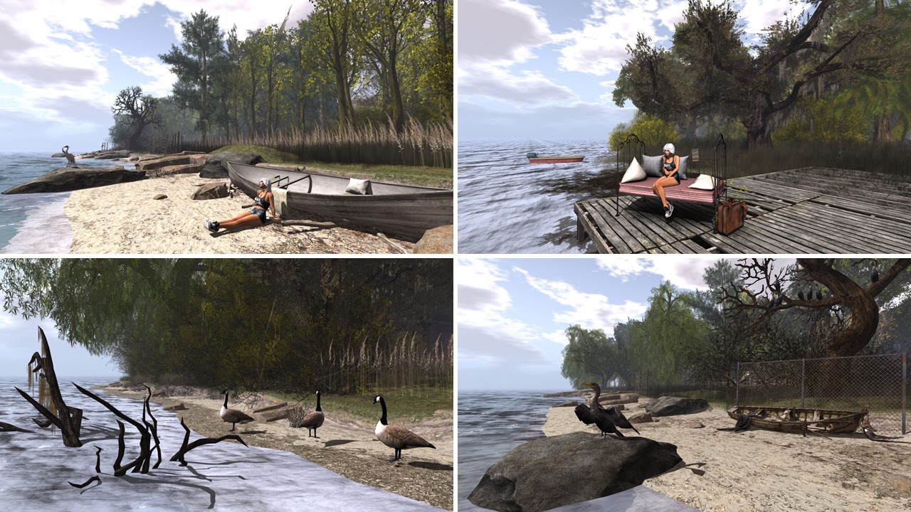
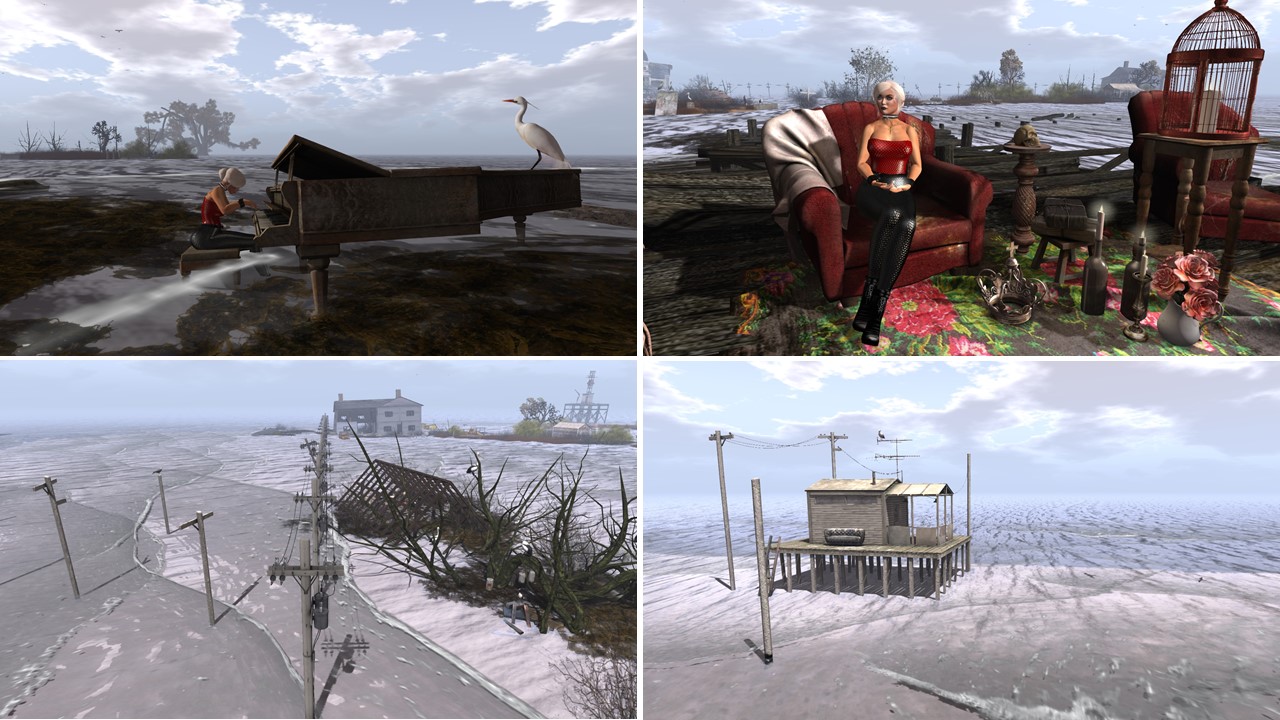
I went on a longer simploring tour Saturday, December 14th, and visited “Let it Snow! A Winter Wonderland” (read also yesterday’s post). I had fun exploring it, really a Winter Wonderland! I was about to finish my visit when Kitty came online. What a surprise. I summoned her to me and we danced in this romantic environment, we caught up just a bit. Mistress Jenny, who meets Kitty more often than I do, keeps filling me in about Kitty’s news.

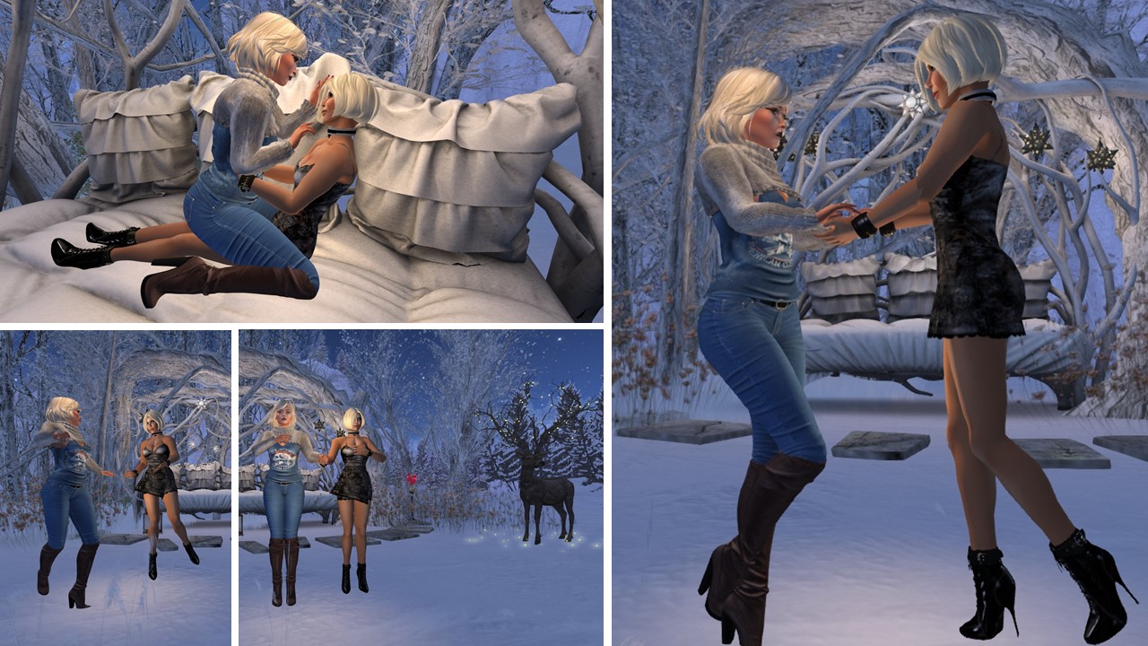
December 14th: Diomita and Kitty dancing at “Let it Snow!”

At night I first spent some time at club Domme a Domme where Ann found and joined me. I took control and tied her up in her doll suit. I noticed slave Flo coming online and called her. She had started a game of skipee (alone, so that she wins *winks*). I went home with Ann and soon after slave Gwendi and Mistress came inworld. slave Gwendi had been sick a few days and we were happy having her back. After Flo had won her game (surprise, surprise), we went to Mesmerize Dungeon for about an hour. Mistress and I caught up with our mutual news, we talked about the upcoming holidays, we teased the slaves and had fun. And slave Flo and slave Gwendi had fun teasing Ann as their future sister slave.

December 14th: Diomita and Ann at club Domme a Domme / Mistress Jenny and Diomita at Mesmerize Dungeon with slave Flo, slave Gwendi and Ann

Back home we played a round of greedy, then it was time for Mistress Jenny and slave Flo to leave. I tucked Mistress Jenny in and went to bed early myself.

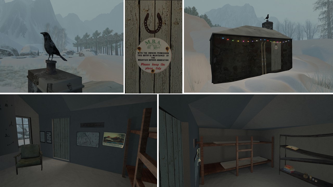
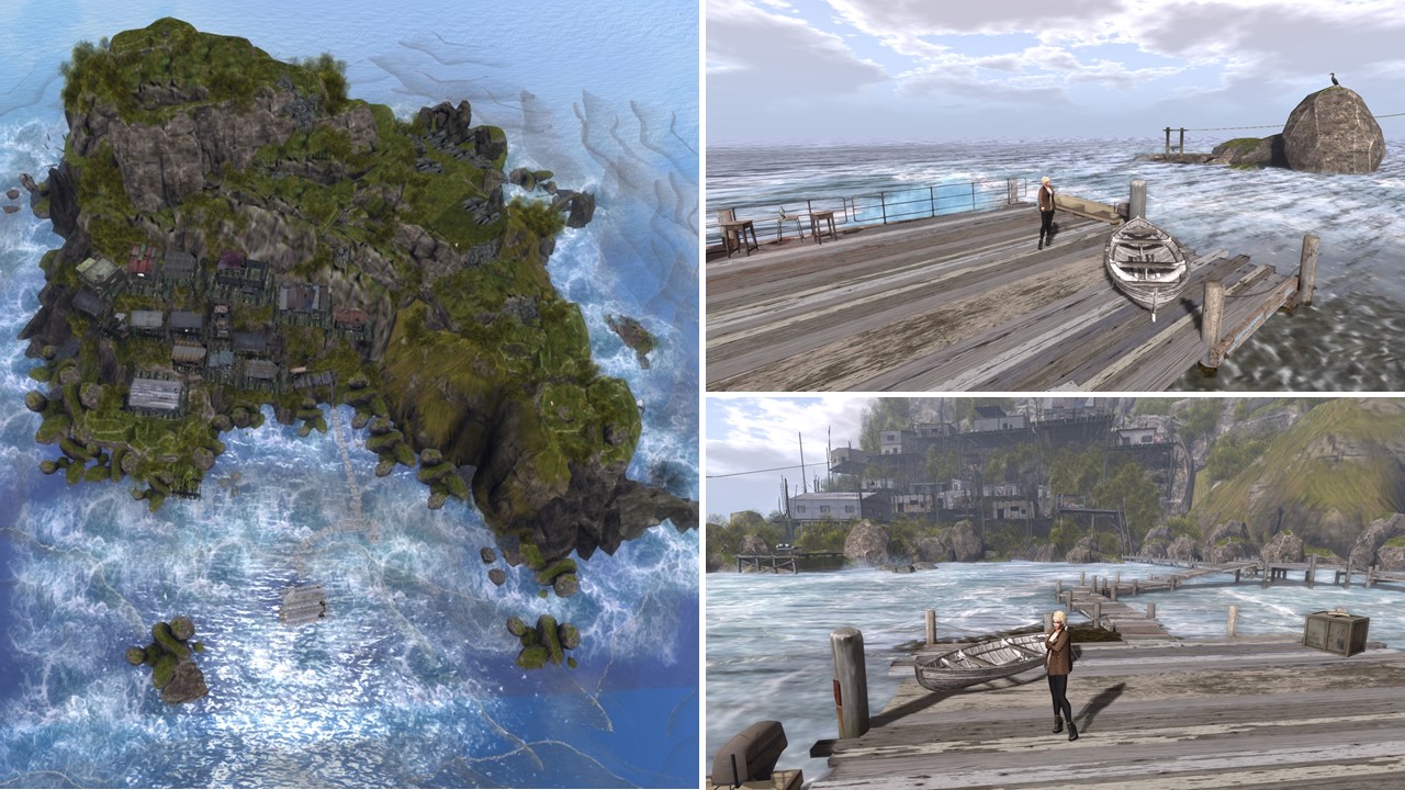
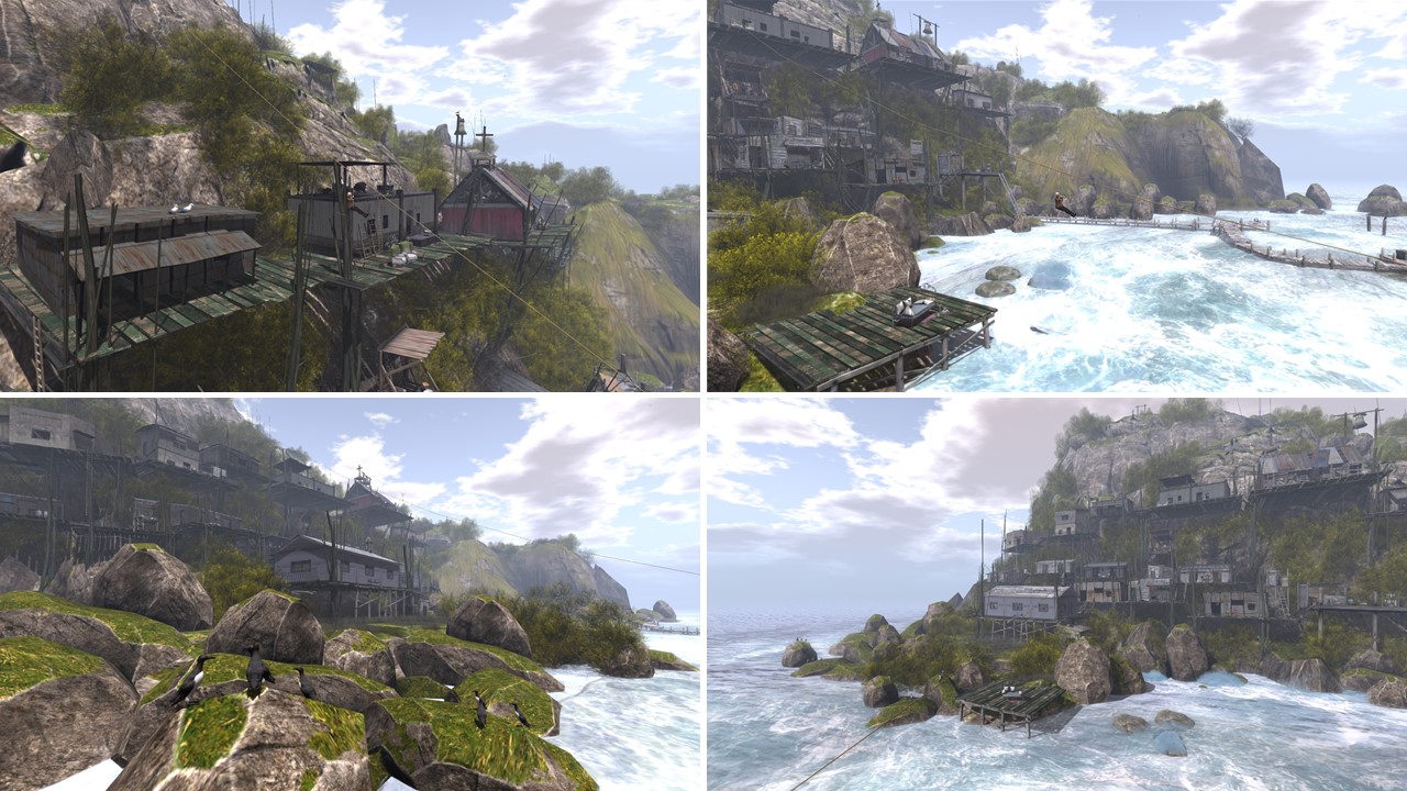
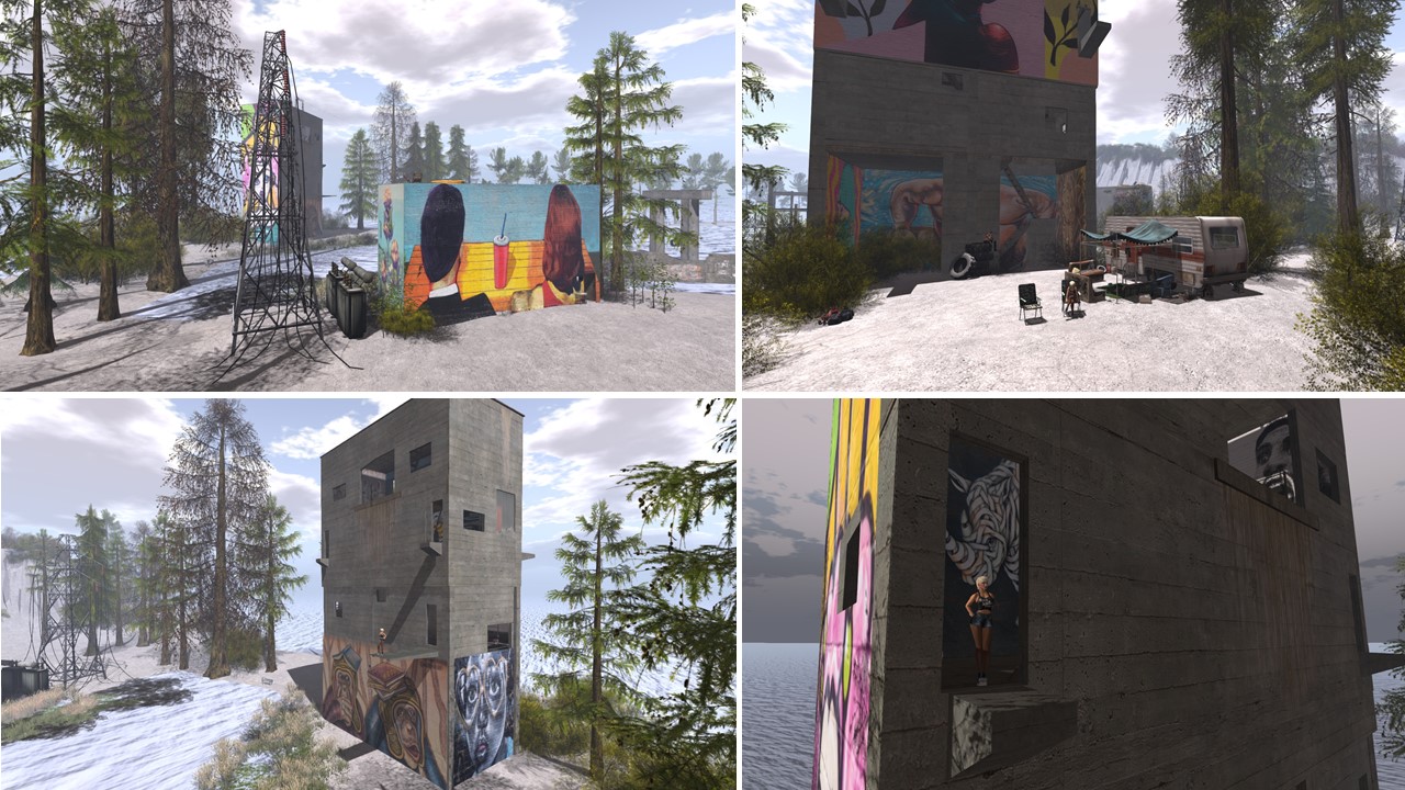
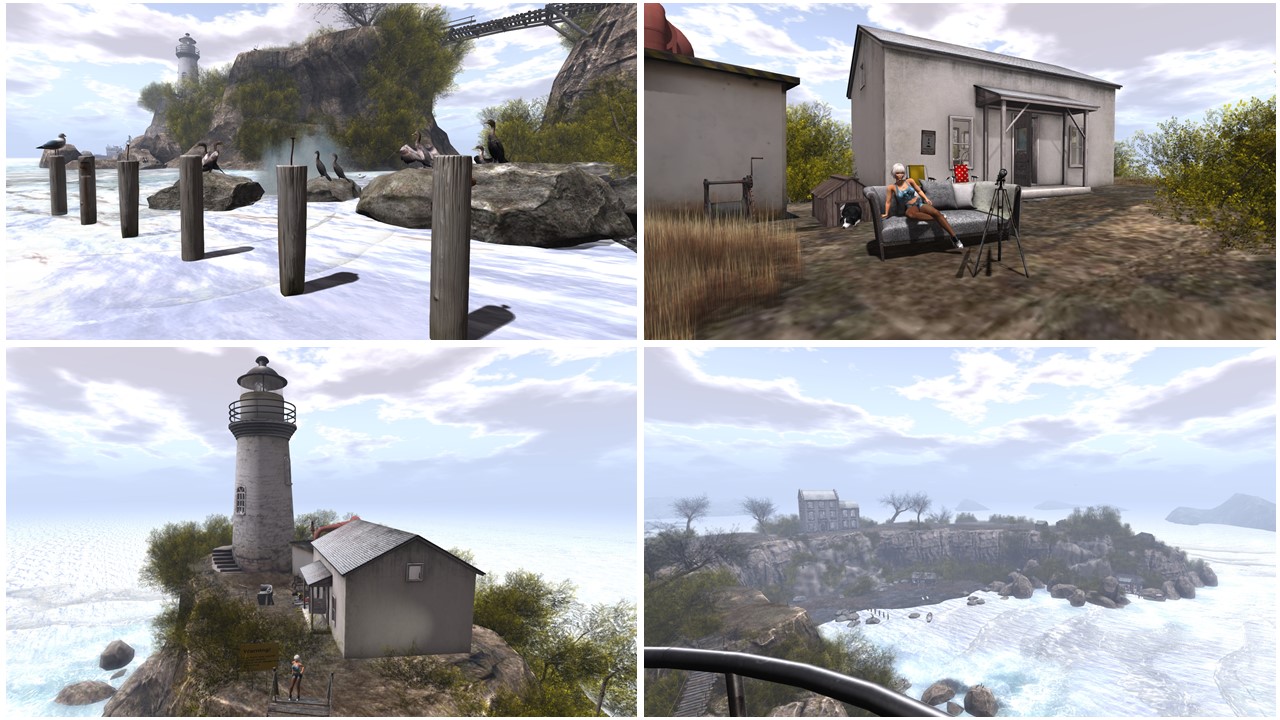
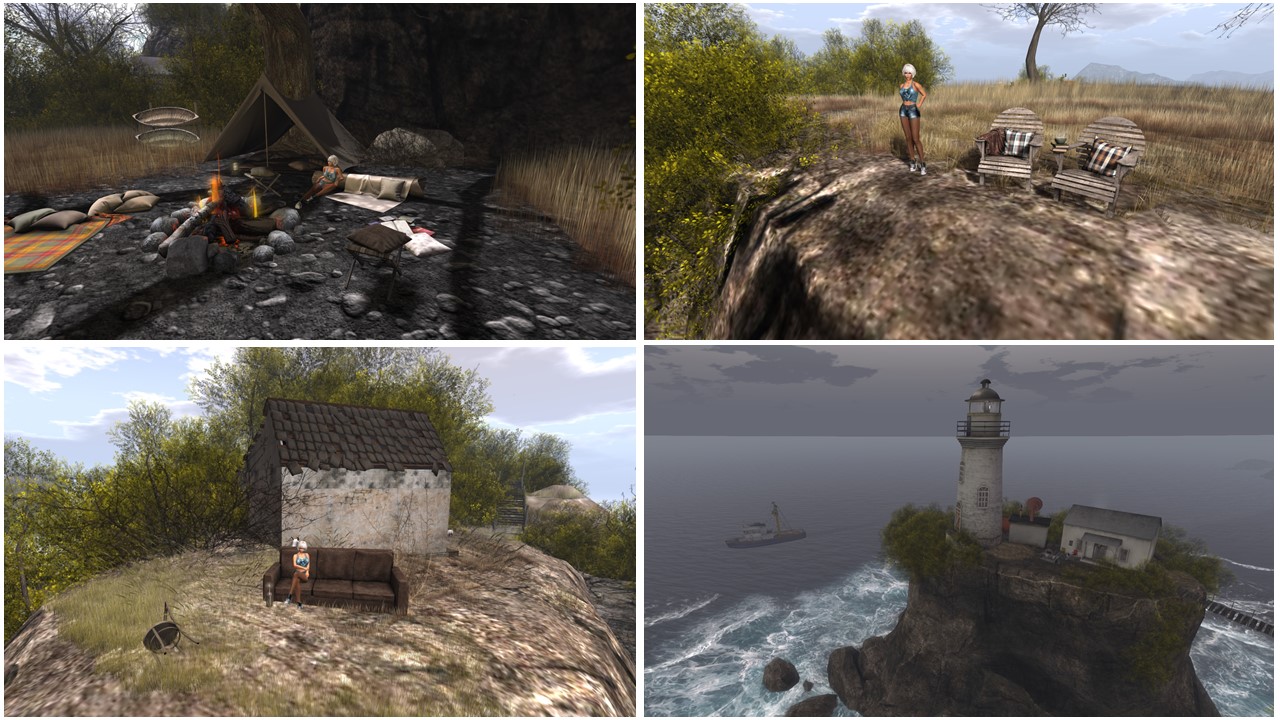
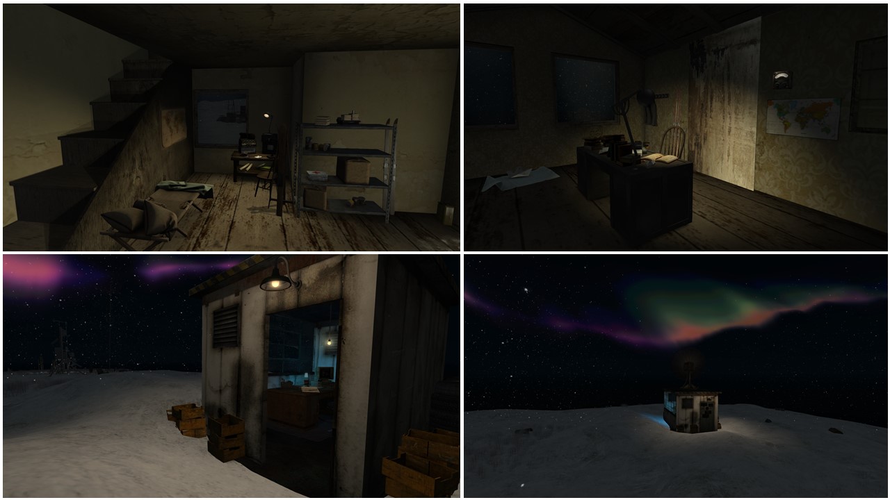
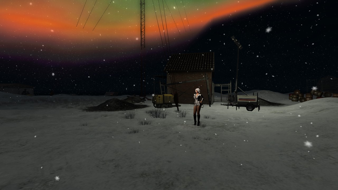
I had quite some time inworld on Sunday, December 15th. I went visiting Lairig Leacach  (see Simploring 2019 (126) Lairig Leacach) first. It is Serene Footman’s particular holiday sim and outstanding as all of his work. Once again, Kitty came inworld when I was about to leave, but this time I really had to leave.


Lairig Leacach

To my surprise Kitty was online when I returned in the afternoon. Now she was about to leave but I could convince her to come home and to meet me and slave Gwendi. I took a fwe pictures of us 🙂

December 15th: Diomita with slave Gwendi and Kitty

After Kitty had left I took slave Gwendi with me to Heavy Bondage Club. slave Gwendi was more or less absent and I had some distractions of RL as well. Our former slave Dana called me and I summoned her to us. She’s was quite restricted and still searches her place in SL while causing trouble and having fun. We caught up a little but, then I had to leave for dinner.

December 15th: Diomita with slave Gwendi and Dana at Heavy Bondage Club

At night Mistress Jenny, slave Gwendi, slave Flo and I had 2 rounds of greedy first, then we went to club DeLust where we spent the night. slave Gwendi danced for us, slave Flo decorated us well and slave slut cecy showed up later and danced for us as well. We had a very relaxed night together with the slaves and it was crowned with tongetherness at our skybox after the slaves had left.

December 15th: Mistress Jenny and Diomita a club DeLust with slave Flo, slave Gwendi and with slave slut cecy


Simploring 2019 (126) Lairig Leacach

Today I came across “Lairig Leach” on scoop.it SL Destinations. Lairig Leach is the newest installation of Serene Footman, it is his quite unusal holiday gift to the residents of Second Life.

As always Serene has selected an unknown, remote and particular spot in Real Life and brought it to Second Life. Larig Leach is “a tiny bothy in a spectacular situation at the foot of Stob Ban in the Central Scottish Highlands. A bothy – also called a byre, or cowshed – is a refuge, a place to rest tired feet or sleep, sheltered from the wind, rain and snow.

Lairig Leacach

In Serene’s own blog you’ll find a detail description about this particular bothy (Lairig Leach) as well as about the Scottish Highlands and the Mountain Bothies Association. There’re also some pictures of Lairig Leach in RL as well as other links with more information.

Impressions of Lairig Leacach (1)

Around the bothy Lairig Leach are mountains, a river, animals, rocks, a frozen pond, trees, trails, snow and more snow. The windlight setting is selected to make us freeze. The landing point is a frozen pond and you have to walk a bit to reach Lairig Leach which is quite in the center of the sim. The bothy itself contains nothing more than a loft bed, broken shelves and two chairs. Nonetheless it is the only place that offers shelter from wind and snow. For someone who hiked a few hours through the loneliness of the Scottish Highlands in Winter, such a bothy can be the paradise, a life saving shelter. And this interpretation could make Serene’s Lairig Leacach a Christmas installation.

Impressions of Lairig Leacach (2)

Not surprisingly Lairig Leacach is outstanding in its simplicity – nature, snow and just a few places to sit. The sim background is perfectly fitting to the sim so that you can’t differentiate between the sim and the background. It is a pardise for photographers.

Impressions of Lairig Leacach (3)

Be aware that Lairig Leacach is a temporary installation and might be gone by the end of the year.
Thank you for your holiday gift, Serene. I enjoyed my visit, Happy Holidays!

Lairig Leacach

Landmark to Lairig Leacach
https://maps.secondlife.com/secondlife/Tor%20of%20Ironhall/139/169/24
Serene Footman’s blogpost about Lairig Leacach
https://furillen.org/2019/12/14/lairig-leacach/
Mountain Bothies Association
https://www.mountainbothies.org.uk/

Simploring 2019 (105) Furillen

The name “Furillen” might sound familiar for many people in Second Life who like to explore this virtual world. Furillen.org is the website of Serene Footman where you find information about Serene’s outstanding places in Second Life. All of there creations have a strong connection with places in the physical world, places that not many people know or can get to easily. And these places always have something mysterious and a particular atmosphere.

Serene’s first creation was Furillen (at least as far as I know) and I visited it back in 2016, Of course I wrote a blogpost about it and I will add it below. And now Furillen is back! This gives those who missed seeing it the opportunity to discover and explore it. And for others it is very enjoyable to see it again.

Furillen October 2019: landing loint (upper left) / in the office (lower left) / in the hotel (upper right) / in the factory (lower right)

I’m not sure if the whole sim is exactly the same as in 2016. For example I can’t remember the dining table on the roof terrace of the old plant site. But perhaps I missed it during my visit in 2016. I recognized a lot though.

Impressions of Furillen October 2019 – upper right shows the dining place on the roof terrace of the factory


I recommend to read Serene’s text about Furillen at his website Furillen.org before visiting. Knowing the background about Furillen makes the visit even more interesting.

Here’s my blogpost from 2016…

Furillen in Second Life

Saturday, November 5th, I looked up the SL destination guide and came across Furillen. Somehow the name rang a bell, but more about this later. The description read very tempting for me “Furillen depicts an island off the north-east coast of Sweden containing abandoned industrial builds that were once part of a former limestone factory. Remote, bleak and beautiful, this is a Second Life photographers haven.”
Once I arrived at Furillen and saw the cold, snowy, dismal island with the ruins of a former insudstry, I began to do some research about Furillen.

Furillen (older spelling Furilden) is an island in Rute on the northeast coast of Gotland, Sweden. For most of the 20th century, there was a limestone industry on the island until it was closed to the public by the Swedish military in the 1970s–90s, when radar installations became operational. The north part of Furillen is a nature reserve and a Natura 2000 area. Since 2000, the old factory buildings from the limestone industry have been used as hotel and conference venues by the Fabriken Furillen (the Furillen Factory) company, owned by photographer and entrepreneur Jonas Hellström. He started out using the abandoned factory and its surroundings as a backdrop for commercials and rock videos. (source Wikipedia)

November 5th – Furillen in Second Life: Arrving at Furillen

There’s a website about this sim furillen.org and I recommend visiting it first. The following information is en excerpt taken from furillen.org. The sim is owned and was created by Serene Footman in Ocotber 2015. Serene is an university professor in the UK in RL and the author of several books. “I originally ventured into Second Life as a researcher. I have always found creative sims to be the most compelling aspect of Second Life. By creating Furillen, I wanted to provide an environment in which photographers and Second Life wanderers would feel welcomed and inspired.
The virtual Furillen was designed to retain some of the most distinct and recognisable features of the real Furillen: the airstream, the tree line and pier, for example, together with the large slag heaps that still exist as a reminder of the old quarry. In addition, there are several buildings, the main being a hotel that – on the virtual Furillen – doubles up as an art space with a series of rooms featuring minimalist installations.


Furillen became quite a social space. It is, especially, a place for photographers. Serene has also staged events over the past year, most memorably those devoted to Bowie, Radiohead and Pink Floyd – and it is the Pink Floyd event that rang a bell for me. I’ve visited Furillen before together with Mistress Jenny during this event, not konowing about the background of Furillen. You can read in this blog about the Pink Floyd event in the article “Pink“.
It is amazing how perfectly Serene succeeded in making the virtual Furillen looking similar to the real island as you can see when you compare the pictures from wikipedia with the pictures taken in Second Life – chapeau! One of the old buildings is used for exhibitions and right now there’s an exhibition called “Birds” with photographs from Laura.


I roamed over the island and climbed on the structures and was impressed how intense you feel to be in a real abandoned industry ruin. The highlight of my visit was the hotel which is placed just behind the tree line. The tree line looks really misplaced on this island in this dismal environment but is also just reflecting the real Furillen. In the hotel each room is a different piece of art, mostly surreal and a heaven for photograhers.

November 5th – Furillen in Second Life: The hotel behind the tree line

I know I am by far not the first writing about Furillen. There’s a long list of articles on furillen.org. Nonetheless I wanted to keep something for this diary and to inspire others to have a look at Furillen. Thank you so much Serene for providing this sim to the public!

end of my original post 2016 about Furillen (I only updated the landmark)

Thank you so much Serene for bringing back Furillen. I enjoyed my (re-)visit at lot!

Link to my original post Furillen in Second Life
https://themaurers.me/2016/11/08/furillen-in-second-life/
Landmark to Furillen
http://maps.secondlife.com/secondlife/Arcole/163/117/23
Flickr group
https://www.flickr.com/groups/furillen/
Serene’s website furillen.org
https://furillen.org/
Furillen entry in Wikipedia
https://en.wikipedia.org/wiki/Furillen

Simploring 2019 (75) North Brother Island

On June 29th Serene Footman and Jade Koltai opened their newest sim, North Brother Island, “the last unknown place in New York City…
Serene and Jade’s passion is to make forgotten or weired places known to a broader public and in particular to make them accessible, so that you can expierence them, so that you can immerse yourself in these places and in their history.

North Brother Island is located in the East River between Bronx and Rikers Island (a prison island). North Brother Island has an area of about 13 acres. It was not inhabited until 1885. It then was used for isolating small pox and typhiod patients. After World War II, the buildings of the isolation clinic at North Brother Island were used for young drug addicts until the facilities were closed in 1963. Since then the island is uninhabited again, the nature is taking it back and the buildings rot.

some historic pictures of North Brother Island

Before visiting I strongly recommend reading Serene’s blogpost about North Brother Island. It contains a lot of information along with pictures, maps, videos and links.

I heard about North Brother Island before and I already read quite a lot about it. North Brother Island is also the place of the biggest ship disaster in American history. On June 15, 1904, the PS General Slocum, a sidewheel passenger steamboat, caught fire and sank in the East River of New York City at the shore of North Brother Island causing the death of more tham 1,000 people, most of them children with German roots. The ship had been chartered by St. Mark’s Evangelical Lutheran Church in the Little Germany district of Manhattan. Read more about this disaster at Wikipedia.

North Brother Island in Second Life – overview and first impressions

Back to North Brother Island itself. Serene and Jade reconstructed some of the major buildings of the clinic and the big rusted crane at the pier. Although it is dangerous to visit the island and enter the rotten buildings in reality, in Second Life you’re safe. Some of the left overs, that are shown in the pictures in Serene’s blogpost, like the chair with the many books on the floor around it, can also be seen in Second Life. But Serene also made use of the artistic freedom and added some other oddities, like a vase with flowers in one window.

Impressions of North Brother Island in Second Life (1)

The main experience is to walk through the dense vegetation and to come across a large building all of a sudden. It’s hard to take a picture of whole buildings due to the vegetation and I assume that is quite like it is in reality. You can see how the nature took back the place. North Brother Island is also a bird sanctury nowadays.

Impressions of North Brother Island in Second Life (2)

There are also some spots to sit and watch. That’s perfect for taking in the whole atmosphere, for thinking about the dramas that happened here. The buildings could tell a lot of stories, like the one of Mary Mallon, or “Typhoid Mary” (1869-1938). Serene wrote about her in his blogpost.

Impressions of North Brother Island in Second Life (3)

I did not only go into every building, I also walked around the island on the shore side and discovered some more spots to sit and watch the birds. In RL you would see the skyline of NY City very close from the shore and this certainly adds to the oddity of this island. My main source of information about North Brother Island is a German blog about New York history and I’ll add the link here. Even if you don’t understand German, there’re a lot more historical pictures of it. In this post you find more links, one leads to a collection of pictures of North Brother Island taken in 2011.

Impressions of North Brother Island in Second Life (4)

Thank you Serene and Jade for another great place to discover and to learn about. My visit inspired me to restart my own research of New York history.

Landmark to North Brother Island
https://maps.secondlife.com/secondlife/Arcole/23/163/22
Serene Footman’s blogpost about North Brother Island
https://furillen.org/2019/06/29/north-brother-island/
Wikipedia entry about the General Slocum disaster
https://en.wikipedia.org/wiki/PS_General_Slocum
German blogpost with a lot of historic pictures of North Brother Island
http://nygeschichte.blogspot.com/2013/11/north-brother-island.html
collection of pictures of North Brother Island
http://kingstonlounge.blogspot.com/2011/01/north-brother-island-riverside-hospital.html

Simploring 2019 (35) Ukivok

On March 24th Serene Footman and Jade Koltai opened their newest sim named Ukivok. And again they take us to a place far away, a place I never heard of before, a place still exsistent but forgotten and abandoned. Ukivok is located on King Island, an island in the Bering Sea, around 64 km off the Alaskan coast, a rocky island that it just 2,5km long and 2,2km wide. It was once home for about 200 Inupiat, who lived there during the Winter months particularly for hunting and fishing on the ice. Since 1970 Ukivok is abandoned, but the stilt houses of the village are still there.

Impressions of Ukivok (1) – overview and landing point

Before you visit Ukivok, I strongly recommend that you visit Serene and Jade’s website and read the blog post about Ukivok: “Ukivok, and the People of the Sea“. Serene has collected a lot of information about Ukivok and the Inupiat, pictures of Ukivok and videos and some background information regarding how the Inupiat lived there, about their traditions as well as about why Ukivok was abandoned finally.

Impressions of Ukivok (2) – at the landing point

Ukivok in Second Life gave me an impression of the village in reality. There once were 2 larger buildings, a school and a church. The school does still exsist while the church has fallen apart. In SL you’ll find both buildings. High above the village there’s a statue of Christ the King, the Inupiat (they call themselves Aseuluk) were Catholics and this statue is also there in reality.

Impressions of Ukivok (3) – exploring the village / old school house (lower right)

In Ukivok in Second Life you’ll can also see an “Alaskan Stonehedge”, a completely natural group of single rocks and this is once again a feature of the real King Island. Last but not least the Inupiat had a ropeway to transport goods from or to the sea level. In Second life this ropeway is a bit longer, actually it is a zipline and added just for fun.

Impressions of Ukivok (4) – exploring the village / old church (lower right)

Walking through Ukivak is a challenge even in Second Life, but exploring in the virtual world is safe, you won’t get hurt, even when you fall. You have to look out how to get from one level of the village to the next, there are stairs and ladders. The small podests in from of half brocken houses offer a lot of opportunities to sit and enjoy, to listen to the sound of the many birds, which are the main inhabitants of Ukivok nowadays, or to simply inhale the particular atmosphere of this place.

Impressions of Ukivok (5) – statue of Christ the King, “Alaskan Stonehedge”, at the zipline

Impressions of Ukivok (6) – Diomita having fun sliding down the zipline / more impressions

I mainly used my personal standard windlight setting (Annan Adored Realistic Ambient) but I doesn’t reflect the uniqueness of Ukivok, the cold and the loneliness, well enough. I played a bit with other settings and added a few of these experimental pictures.

Ukivok – playing with the windlight settings

The blogpost about Ukivok is very instructive and being able to visit the village right after reading is an experience that you can only have in a virtual world like Second Life. Thank you Serene and Jade, you really make use of the possibilities of SL. Very impressive once again!

Landmark to Ukivok
https://maps.secondlife.com/secondlife/Dulcis/227/118/22
Blogpost with all information about Ukivok
https://furillen.org/2019/03/24/ukivok-and-the-people-of-the-sea/
Flickr group
https://www.flickr.com/groups/ukivok/

Simploring 2019 (17) Chesapeake Bay

Forget me not, is all I ask.” is inscripted on the grave slab of Effie L. Wilson, who was born Jan. 16th, 1880 and died Oct. 12th, 1893 on Holland Island which is located the Cheseapeake Bay. She just became 13 years old. Holland Island itself is mostly sunken, just some sandbanks are left and might vanish soon as well as hundreds of other islands did in the Chesapeake Bay.

Stephen White, a waterman and Methodist Minster, fought more than 15 years trying to save Holland island and the last house remaining of once 60 houses which were inhabitated by more than 400 people in the 19th century. He lost this fight. The last house sunk in 2010. But he did succeed in one thing: Effie L. Wilson isn’t forgotten.

Holland Island in the Chesapeake Bay – real and virtual

This and other stories around the many sunken islands inspired Serene Footman and Jade Koltai to re-erect not only Holland Island in the state shortly before the last house was swallowed by the sea.
Serene and Jade also added a lighthouse from Sharps Island which still peeks out of the water while Sharps Island itself sank in 1960, somewhat earlier than Holland Island. And they added a popular hotel that was built on the island and sank with it.

Sharps Island in the Chesapeake Bay – real and virtual

Serene Footman published a very interesting and instructive article about the sunken islands in the Chesapeake Bay and the stories behind his’ and Jade’s newest installation “Chesapeake Bay” (read “The Islands that Disappeared” on Serene’s website furillen.org). There’re many pictures of today and from the past alongside some videos for example about Stephen White and his futile fight to save the last house of Holland Island.

Impressions of Chesapeake Bay in Second Life (1)

I strongly recommend to read and watch the Videos first before you visit “Chesapeake Bay” in Second Life. Knowing the background and some of the stories, the many lifes lived on these sunken islands lets you feel the magic of this place in the virtual world of Second Life.

Impressions of Chesapeake Bay in Second Life (2)

Of course there’s more to explore and discover at Chesapeake Bay. Besides the historical buildings and structures there’re plenty of places to sit, mediate, chat or just enjoy the environment and the rich wildlife. Colonies of birds are living on what’s left of the Islands.

Impressions of Chesapeake Bay in Second Life (3)

For me it was particular to visit Chesapeake Bay in Second Life, as I was in the area in the 1990ies and in the 2010ies – not aware of all of this. Serene and Jade’s transformations of particular places in the physical world into the virtual world of Second Life truely enrich my expierence. Thank you Serene and Jade!

Landmark to Chesapeake Bay
http://maps.secondlife.com/secondlife/Epsilon/191/179/21
Information and background provided by Serene Footman “The Islands that Disappeared”
https://furillen.org/2019/02/09/the-islands-that-disappeared/
Serene Footman’s website
http://www.furillen.org/

Simploring 2019 (7) Rummu

When I saw a post on scoop.it SL Destinations reporting that Serene Footman and Jade Koltai had just opened a new sim called Rummu I had to read about it and of course I had to visit it. Serene has written a very detailed documentation about Rummu, Estonia, the place they rebuilt in SL. I strongly recommend to read this documentation and to watch the documantaries embedded there. It provides the needed information to judge what you see in Second Life. It also makes your visit in Second Life getting closer to the feeling that you know this place as if you were there.

Impression of Rummu quarry, Estonia (1)

So what is Rummu? First of all it is a small borough in northern Estonia. Secondly there’s the Rummu quarry, a submerged limestone and Vasalemma marble quarry.
The latter is a specific kind of limestone with its structure and texture resembling that of marble. The quarry is close to two former prisons, the nearest being the former Rummu prison. During the Soviet era, until the 1990s, excavation was performed as hard labour prisoners. When pumping of water ceased, the quarry quickly filled with groundwater, forming a lake, immersing some of the utility buildings and machinery. Next to the lake is the Vasalemma spoil tip (slag heap). Over time, the spoil tip assumed a unique appearance through erosion by water.
With the closure of the Rummu quarry, the area became a featured location for nature photography, hiking, rafting, scuba diving, as a summer spot, musical and sports events, and as a filming location for its unique layout. The site was depicted in the post-apocalyptic short film The Most Beautiful Day (2015) by Einar Kuusk. Several of the deserted buildings at Rummu were featured in the video for hit song “Faded” (2015) by Norwegian DJ Alan Walker.
Jump-diving into the lake off derelict buildings is very dangerous, because the lake bed contains pieces of thick concrete, tree branches, rebar spikes, metal construction (including machinery), and plenty of barbed wire.“(excerpt from wikipedia)
The area is closed now officially, which doesn’t prevent people from visiting.

Impression of Rummu quarry, Estonia (2)

Serene writes about Rummu:
Those who visit Rummu and write about the experience invariably say that besides the strange beauty of the derelict buildings that lie partially submerged, it is the knowledge of what lies below the water – and the terrible history of the prison itself – that lends the place its extraordinary charisma. We have tried to recreate this combination of surface and depth. If you venture into the water and walk around, you will soon find yourself in darkness, surrounded by plants and pieces of derelict building. Keep on going down the slope, and in the depths you will reach some gates. Here you enter the prison itself, deep under the water, just as divers do today. It’s a creepy place, for sure.

Above ground, Rummu’s most striking feature consists of the giant slag heaps that were created by quarry works. These act as a great vantage point, while in the real place, they have to be crossed to gain access to the beach. Besides the ruined buildings and underwater prison, Rummu’s other distinctive feature are its murals, and we have recreated some of these – while adding others – at the sim. The biggest murals, most notably the image of the coffee cup, which exists at Rummu, appear to be the work of a Moscow-based group of artists called Zukclub.” (taken from Serene’s website)

Rummu in Second Life – overview

Enough foreword and quotes – let’s get to Rummu in SL.
Rummu is a moderate homestead. It is dominated by the lake with the rests of the prison and the quarry underwater, some concrete ruins of the former buildings still reaching high out of the water. There’s the slag heap, two big hills right next to the lake. Plants are growing on the slag heap. The lake is surrounded by beaches and some other solitaire concrete hugs buildings. The nature has taken back almost everything, plants and trees are growing out of every crack of the ruins. Some of the walls are covered artfully with murals outside and inside of the buildings.

Impressions of Rummu in Second Life (1)

You can walk inside of the buildings and climb up to the roos for the view and for the fun there’s a zip lane leading from one of the buildings to a ruin in the center of the lake. Serene has added reams of chairs, benches, loungers, beach furntiure, camping furniture and during my visit some of them were taken by other visitors. You can also use a Swan paddle boat, the one I saw when visiting :notos:deer: (read Simploring 2018 (106) :nostos:deer:).

Impressions of Rummu in Second Life (2)

Impressions of Rummu in Second Life (3)

I explored the whole sim, I visited the hut as well as the two cranes behind the slag heap. I dived and looked at the sunken prison, I went into all buildings, and i visited the ruins of a huge indoor swimming hall. I think, I won’t forget the statue there “A woman is more dangerous than a loaded pistol”, although I have no idea if it is something that belongs to the real Rummu (I think it doesn’t) nor do I know if it is build after a statue in RL.

Impressions of Rummu in Second Life (4)

Rummu for sure has it’s magic attraction. Having the pictures in mind that I saw in the documentaries on Serene’s website made my visit quite real. It’s great to see how people take over these really scary places and turn it into something to enjoy. That doesn’t make us forget the history but gives hope that terror and violence won’t ever be permanent.

Impressions of Rummu in Second Life (5)

Thank you Serene Footman and Jade Koltai for providing this once again impressive place to the public. I did really enjoy my visit!

Landmark to Rummu
http://maps.secondlife.com/secondlife/Gainesville/142/169/22
Serene Footman’s website page about Rummu
https://furillen.org/2019/01/01/welcome-to-rummu/
Wikipedia entry about Rummu quarry
https://en.wikipedia.org/wiki/Rummu_quarry
Flickr group
https://www.flickr.com/groups/rummusl/

Simploring 2018 (89) Black Bayou Lake

When I saw the first reviews of Black Bayou Lake on scoop.it SL Destinations I knew I had to see this sim. It is the newest creation of Serene Footman and his partner Jade Koltai. Serene Footman is the creator of places like Furillen, Dunkirk – La Digue du Braek, Khodovarikha and Isle of May, all of which I visited and wrote about (read here: Furillen, Dunkirk – La Digue du Braek, Khodovarikha, Isle of May). All these sims have one thing in common: they are built according to a place in the physical world – and so is Black Bayou Lake.

Impressions of Black Bayou Lake in Second Life (1)

On Serene Footman’s website you find a detailed description about Black Bayou Lake:
Black Bayou Lake (link to wikipedia) – the inspiration for our sim – is located in Ouachita Parish, Louisiana. The lake is part of an 800 acre nature reserve – there is a factsheet about it here – which seethes with wildlife: there are many species of bird, insect, reptile and fish, along with a variety of trees such as cherrybark oak, cedar elm, ash, hickories, willow oak, shortleaf pine, loblolly pine, mockernut hickory and post oak. It’s a stunning place, which attracted us because we had not yet tried designing a sim that consists mainly of water…...”

Black Bayou Lake in Second Life is a virtual interpretation of the nature reserve in the physcial world. The most outstanding feature both places have in common is a long wooden footpath that visitors can use to explore and to even walk out onto the lake. The swamp with it’s unique flora and the bare trees is another feature they share. Even some of the huts that are scattered on the sim look similar to those found in the nature reserve.

Impressions of Black Bayou Lake in Second Life (2)

I didn’t change the windlight setting that was provided. The atmosphere is very foggy and mystic, you can almost sense the humidity. I walked along the whole footpath, enjoyed the views, sat down here and there, listened to the birds singing (don’t forget to turn on the ambient sound!) and took a lot of pictures.
When I left the wooden footpath, I fall into the swamp several times. Luckily that’s not dangerous in Second Life, nonetheless you’d better watch your step.

Impressions of Black Bayou Lake in Second Life (3)

Visiting Black Bayou Lake was a great experience that I really enjoyed. I looked up a lot of information about the Black Bayou Lake National Wildlife Refuge. It did not replace a visit to it in real life, but together with some pictures of the real place it felt as if I were there. I assume just the smell and the damp heat is what I missed *winks*.

Thank you Serene Footman and Jade Koltai for sharing your creation with the public!

Landmark for Black Bayou Lake
https://maps.secondlife.com/secondlife/Gainesville/144/204/21
Serene Footman’s website
https://furillen.org/black-bayou-lake/
Black Bayou Lake on Wikipedia
https://en.wikipedia.org/wiki/Black_Bayou_Lake_National_Wildlife_Refuge
Description from a visit at Black Bayou Lake
https://flatfooting.wordpress.com/2014/10/01/black-bayou-lake-national-wildlife-refuge/
Black Bayou Lake Factsheet
https://www.fws.gov/southeast/pdf/fact-sheet/black-bayou-lake-national-wildlife-refuge.pdf

Simploring 2018 (30) – Isle of May

scoop.it SL Destinations has become my favourite source for picking destinations for my simploring tour. Sunday, March 25th, I came across “Isle of May“, a new sim created by Serene Footman.
I was excited seeing a new sim of Serene. Serene’s sims are facinating and bring you to destinations you might never see in the physical world but you can visit them in this virtual environment and you also begin to make some research about these places. Hence it is like a real short vacation. The last place of Serene Footman was Khodovarika and I also saw Dunkirk – La Digue du Braek and Furillen.
This said, you know why I was excited to see “Isle of May“.

The Isle of May (source: wikipedia http://en.wikipedia.org/wiki/Isle_of_May)

The Isle of May is located in the north of the outer Firth of Forth, approximately 8 km (5.0 mi) off the coast of mainland Scotland. It is 1.8 kilometres (1.1 miles) long and less than half a kilometre wide. Itwas designated a National Nature Reserve on 12 June 1956 and is managed by Scottish Natural Heritage (SNH). Although only around 57 hectares in size, over 285 bird species have been recorded on the island. At the height of the breeding season, the Isle of May can host around 200,000 seabirds, including puffins, kittiwake, guillemots, razorbills, shags and fulmars. These numbers can fluctuate considerably from year to year, depending on weather and fish stocks.
As well as its natural heritage, the Isle of May also has a rich cultural heritage, including St Adrian’s Chapel, the Isle of May Lighthouse and others.
Most visitors to the island are daytrippers taking the ferry from Anstruther in Fife, although up to six visitors can stay at the bird observatory, usually for a week at a time. The only way to get there is by ferry; the journey takes 45 minutes from the small ports of Anstruther and Crail, and also from North Berwick.
The island is closed to visitors from 1 October until Easter to prevent disturbance to the large number of seal pups. The Scottish Seabird Centre at North Berwick has two live cameras on the island, which can be remotely controlled by visitors, to allow close viewing of the seabird cities, including puffins, guillemots, razorbills, shags, cormorants and terns and the fluffy grey seal pups in winter, without disturbance. The Scottish Seabird Centre also runs boat trips to the Isle of May (from wikipedia http://en.wikipedia.org/wiki/Isle_of_May).

Isle of May in Second Life – overview

Isle of May in Second Life – around the landing point

While the real Isle of May has no permanent residents, Serene’s island is home to a small group of artists, a lighthouse keeper and a ranger who takes care of the island’s birds and wildlife. The sim is on two levels, with a beautiful, peaceful U-shaped cliff top area covered in vegetation and lower beaches on either side. The buildings on the sim are few: the main house stands at the centre of the sim, with a lighthouse and foghorn station to one side and the wildlife keeper’s office together with the ruins of St Adrian’s Chapel on the other.

Impressions of Isle of May in Second Life (1)

Down below, on small beaches, there are various buildings such as an old stone house, beach huts and a fisherman’s lodge. All around the island there is a wild sea crashing against rocks and cliffs (excerpt from Serene’s homepage).

Impressions of Isle of May in Second Life (2)

In Second Life the Isle of May offers a lot of places to sit and watch, to listen to she sounds of birds and nature and to look at the wild sea crashing against the rocks. The main house in the center of the island, right next to the landing, is worth to visit also from the inside. There’re several ateliers for artists and the views through the windows are great.

Impressions of Isle of May in Second Life (3)

I also liked the fisherman’s lodge, that snuggles against the rock in a quite wind protected niche – I got 99 problems and fishing solves all of them. Isle of May is for enjoying the nature and finding some peace, a short vacation just like I expected it.

At Serene Footman’s Homepage I found this video about “Isle of May in Second Life” taken by Serendipity Dyrssen.

http://www.youtube.com/watch?v=6sLEM8rru9k

The Isle of May in Second Life was created by Serene Footman and Jade Koltai. A big thank you to both of you!

Landmark to Isle of May
http://maps.secondlife.com/secondlife/Weed/100/102/41
Serene Footman’s homepage
https://furillen.org/
Serendipity Dyrssen’s viedo about Isle of May in Second Life
https://www.youtube.com/watch?time_continue=1&v=6sLEM8rru9k

Simploring 2017 (80) Khodovarikha

Last year I visited two sims created by Serene Footman, Dunkirk – La Digue du Braek and Furillen in Second Life. Both sims showed a virtual copy of real places in the physcial world and places that are not really famous or well known. Unfortunately bot sims are closed now.

On Thursday, October 5th, I had some time for a simploring tour and as there wasn’t any entry in one of the blogs that I follow, that caught my interest I looked up the SL Desination guide. This way I came across Khodovarikha, which is “a weather station located on the freezing Barents Sea. Remote and desolate, with a permanent population of just one man, Slava. Witness his ‘arctic limbo’ in one of the loneliest places on earth.” It turned out that this is a sim created by Serene Footman. And it is a virtual copy of a real place in the physcial world again too and again, I never heard anything about it before.

Khodovarikha, Russia in the phycial world. Sources wikipedia and http://www.furillen.org

And there’s also not that much on wikipedia about it.
Khodovarikha is a point in the coast of the Pechora Sea located on a landspit projecting eastwards over the bay. It belongs to the Nenets Autonomous Okrug administrative region, which is an autonomous okrug of Arkhangelsk Oblast.
There is a lighthouse at Khodovarikha that used to be an important beacon for the Russian convoy route coming from the Yugorsky Strait in World War II. It was shelled in 1942 by the Kriegsmarine during Operation Wunderland. The lighthouse ceased operation in 1996. There was a small populated place close by that has been abandoned. However, there is still a functioning weather station in Khodovarikha.”

October 5th: Impressions Khodovarikha in Second Life (1)

Serene Footman’s Website, which I visited last year to find out more about La Digue du Braek and about Furillen, does still exist and there’s a separate site about Khodovarikha in the physcial world. I strongly recommend that you read that before you visit Khodovarikha in Second Life (I did afterwards unfortunately). Some of the buildings in Second Life and the whole set up make so much more sense, when you know about the background, about how it looks there and about Slava, who lives there. Here is the direct link to the page about Khodovarikha.

October 5th: Impressions Khodovarikha in Second Life (2)

On the furillen website I also found an entry “Breaking Ice: a 70 Year Story – by Tizzy Canucci“. Tizzy Canucci has made a movie that combines – literally, with a split screen – Second Life footage taken at the sim with an archive film, ‘The Great Northern Sea Route’, that was made in the USSR in 1947. The juxtaposition of real and virtual that Tizzy achieves here is absolutely fascinating. The video is about 10 minutes long and worth watching as an attunement before visiting Khodovarikha in Second Life.

October 5th at Khodovarikha in Second Life – a bizarre picture: Diomita in fetish clothes outside in the snowy cold with an aurora borealis in the background

Thank you Serene Footman for this very interesting sim and the background you provided. It was a pleasure to learn about Khodovarikha and to visit it.

Landmark to Khodovarikha
http://maps.secondlife.com/secondlife/Porter%20Islands/79/181/22
Website about Furillen and Khodovarikha
http://www.furillen.org/

Previous Older Entries Next Newer Entries